
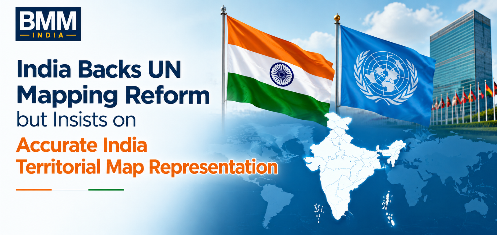
India has expressed support for a United Nations-backed initiative promoting a new global map projection system, while firmly reiterating that any international map must accurately depict the country’s territorial boundaries. The Ministry of External Affairs (MEA) stated that India’s endorsement of the UN resolution does not alter its long-standing position regarding the depiction of Jammu & Kashmir and Ladakh on any India territorial map.
The clarification came after discussions surrounding the UN General Assembly’s adoption of a resolution encouraging the use of the Equal Earth projection, a mapping system designed to provide a more balanced representation of the world’s landmasses.
What Is the New UN Mapping Initiative?
The adoption of the resolution is in support of the Equal Earth projection as an alternative to the popular Mercator projection. In fact, for years, geographers and scientists have been pointing out that the Mercator map gives distorted sizes of continents and countries, where the areas that lie near the poles are depicted as bigger.
Through Equal Earth projection, continents and countries are supposed to be shown in their real sizes. There has been a lot of support for this initiative by many countries and international bodies, which seek a balanced way of portraying the geography of the world.
The Indian government decided to join most other UN members in supporting the resolution.
India Stresses Importance of Official Boundaries
While appreciating the wider goals of the project, India stressed that any map that would be accepted through the framework should depict the country’s official boundaries. As per MEA, India territorial map used in international institutions should incorporate the sovereign claims of the country.
Jammu & Kashmir and Ladakh were mentioned explicitly by officials as regions which are parts of India and have to be depicted as such. It is important to note that while India supported the use of the Equal Earth projection, it does not mean acceptance of any maps which illustrate Indian borders in other ways.
The message is reflective of the consistent policy of New Delhi towards territorial issues in international institutions.
Jammu & Kashmir and Ladakh Remain Central to India’s Position
The question of map depiction has always been a delicate diplomatic problem for India. Over the years, the Indian government has protested against the depiction of inaccurate maps depicting Indian territory by foreign entities, such as organizations, publishing houses, and digital websites.
According to the MEA’s most recent statement, Jammu & Kashmir and Ladakh are integral parts of India, and therefore, any territorial map of India, which is recognized internationally, must depict the same reality. It was said that territorial integrity is an important part of India’s foreign policy.
It is also important to note that a UN resolution talks about the method of map projection, but not political borders; therefore, no problem exists in supporting this move.
Why Map Representation Matters
Maps can serve as major contributors to public awareness of geography and politics as well as of international relations. Apart from being an informative tool, maps are sometimes considered diplomatic documents and even have legal consequences in cases where disputed territories are concerned.
From the standpoint of India, making sure that the India territorial map is accurate can be seen as a part of efforts made by the country to ensure national sovereignty and avoid any misinterpretations concerning its territorial borders.
The rise in popularity of online mapping tools and publications worldwide has contributed to making cartographic accuracy an important part of national representation.
Global Debate Over Fairer Cartography Continues
Those who back the Equal Earth projection point out that India territorial map projection provides a better perspective on the globe because it fixes those distortions that have been part of the traditional map projections for centuries. The move was positively received in countries that have always felt that past map projections have been biased toward some territories.
The case of India shows how countries can support any attempt to make maps more representative while at the same time protecting their territorial integrity. It is quite likely that the issue of political boundaries will continue to be part of the debate regarding the new map projection system.
For India, the bottom line is that while it backs any reform that will make maps more accurate, all maps of India have to show the country’s boundaries, including those of Jammu & Kashmir and Ladakh.